




Reading a Topo Map: The Skill That Keeps You Found
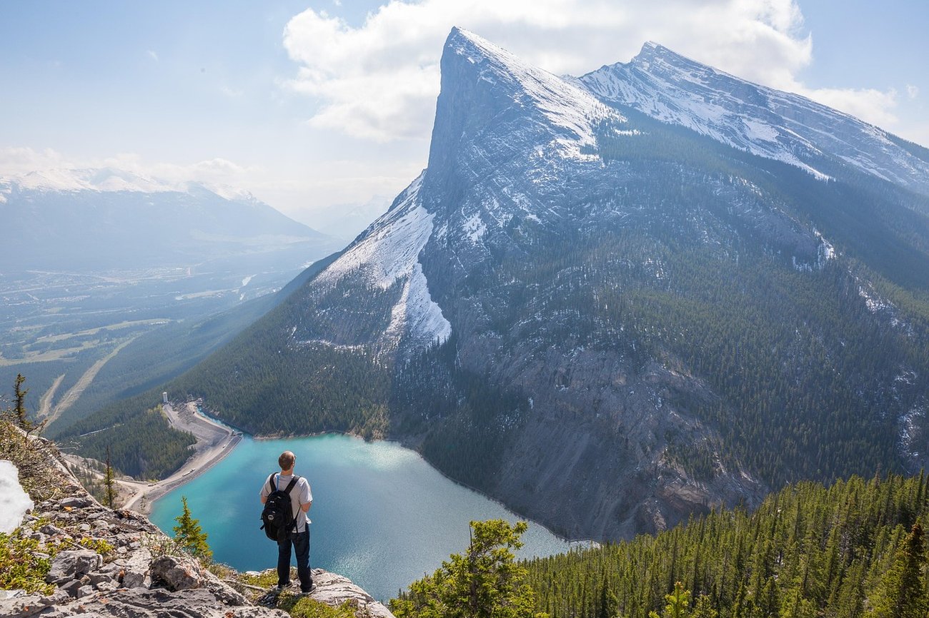
Most hikers today navigate with a phone app, and most of the time that works fine. Until the battery dies, the screen cracks, or the trail disappears under snow. The people who stay calm in those moments are the ones who can read a paper map. It is not a nostalgic skill. It is a backup that never runs out of power, and learning it changes how you see terrain.
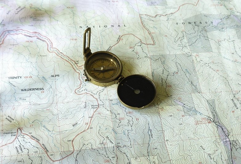
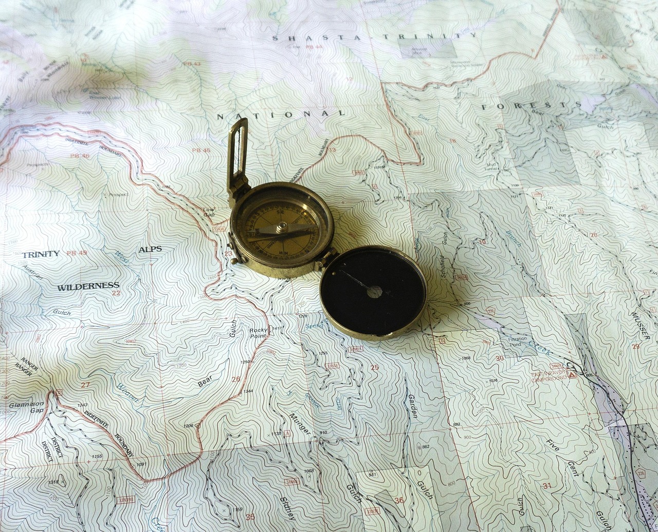
A topographic map shows the shape of the land using contour lines. Each line connects points of equal elevation, and the spacing between lines tells you how steep the ground is. Lines packed tightly together mean a steep slope. Lines spread far apart mean gentle ground. If you can read that spacing, you can look at a map and picture the hills before you ever get there.
Contours, Scale, and What They Tell You
The contour interval, usually printed in the map legend, is the elevation change between each line. On a typical hiking map it might be forty or eighty feet. Count the lines between two points, multiply by the interval, and you have a rough elevation gain. This is how you spot a climb before it surprises you.
Certain contour shapes have names worth memorizing. A series of V shapes pointing uphill means a valley or drainage. The same V shapes pointing downhill mean a ridge. Closed circles mean a summit or a depression. A line that crosses a valley and bends upstream indicates a stream. These patterns let you match what you see on the ground to what is on the paper.
Scale tells you distance. A 1:24,000 map means one unit on the map equals 24,000 of the same units on the ground, so a common US topographic map covers a manageable area in useful detail. Learn how long a mile is on your specific map, using the scale bar, and you can estimate travel time rather than guessing.
Terrain Association: Putting It Together on the Trail
Terrain association is the practice of looking at the land around you and finding it on the map. You do not need a compass for this, though one helps. Pick a distinctive feature, like a peak, a lake, or a sharp bend in a creek, and locate it on the paper. Then orient the map so its features line up with the real ones. Now you know roughly where you are without any electronics.
Do this often, not just when lost. Every time you reach a junction, a stream crossing, or a viewpoint, take ten seconds to confirm your position. Frequent small checks mean you are never more than a few minutes from knowing exactly where you stand. This habit is what keeps a minor wrong turn from becoming a serious problem.
Keep a map and a simple baseplate compass in your pack on any hike where getting turned around is possible. Fold the map to the section you need, protect it from rain, and practice reading it at home before you go. The skill is quiet and unglamorous, but it is the one that turns a frightening situation into a short detour.



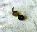

Contour lines, scale, and terrain association explained for hikers who rely on their phone a little too much.
From cowboy coffee to a lightweight press, here is how to get a decent cup at camp without hauling a kitchen.
Clouds, wind shifts, and pressure changes can tell you a lot before you even check the forecast.
Most overnight packs carry ten pounds of things we never touch — here is a practical way to find out which ten.
Canister stoves are not just for boiling water — with a few adjustments they can handle actual dinners.